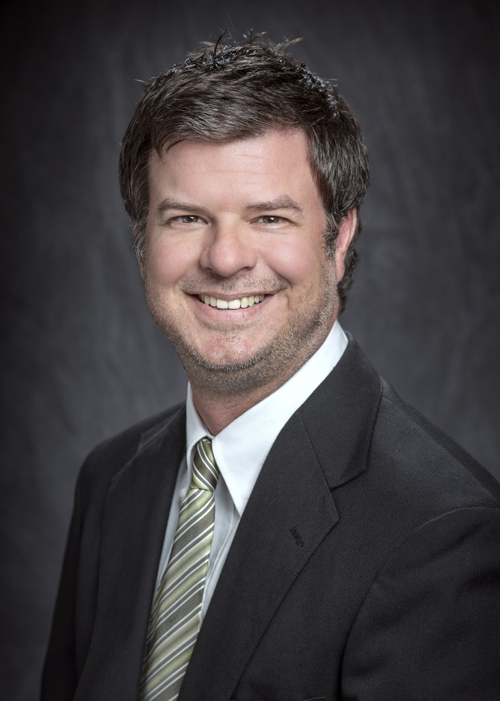
Stuart G. Nolan
Research Scientist
Louisiana State University
Louisiana Emerging Technology Center
Baton Rouge, LA 70803

Bio
Stuart Nolan is a seasoned professional with extensive experience in archaeology, disaster anthropology, and geographic information systems (GIS). Beginning his career as an anthropologist in Cultural Resources Management (CRM), he worked on a variety of archaeological projects across Colorado, Wyoming, Kansas, and the Gulf Coast from 2001 to 2013. His work spanned both terrestrial and maritime contexts, including surveys, report preparation, and data recovery at historic and prehistoric sites. Notably, after Hurricane Katrina, he assisted in the documentation of affected structures and evaluated National Register Historic District zones for redistricting.
In 2006, Stuart trained as an underwater archaeologist and participated in several diving and remote sensing projects. He briefly worked as a GIS Analyst with NOAA during the response to the 2010 BP Oil Spill, which marked a pivotal shift in his career toward Disaster Anthropology. Since 2013, Stuart has served as an EM Analyst at LSU’s Stephenson Disaster Management Institute (SDMI), focusing on preserving the history and culture of marginalized communities in coastal Louisiana.
Stuart’s primary research centers on enhancing community resilience to environmental and anthropogenic disasters. As Co-PI of the NSF CoPe HUB, he collaborates with indigenous tribes to address acute and chronic hazards. He is also the Principal Investigator for the Coastal Indigenous Fisheries Assessment (CIFA), a project that integrates archaeology, biology, and environmental science to address water quality concerns of Tribal communities. Stuart has contributed to multiple research initiatives involving disaster response, hazard mitigation, and cultural preservation, including projects with the Chitimacha Tribe of Louisiana, the National Park Service, and the United States Geological Survey.
Stuart holds a B.A. in Anthropology from Metropolitan State University (2000) and an M.S. in Geographic Information Science from Northwest Missouri State University (2018). He is a certified GIS professional, a registered archaeologist, and holds various certifications in scuba diving, geophysics, UAS Remote Pilot operations, search and rescue, and disaster management.